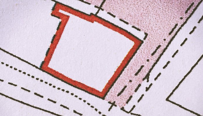
Land Registry plans do not show where the boundary is.
I have lost count of the number of times I have had to say this to clients clutching their Land Registry plans and insisting that their neighbours have encroached onto their land.
The reason why this is the case is the so-called “general boundaries rule”, now incorporated into section 60 of the Land Registration Act 2002, but of much greater vintage, which provides:
(1) The boundary of a registered estate as shown for the purposes of the register is a general boundary, unless shown as determined under this section.
(2) A general boundary does not determine the exact line of the boundary.
To all intents and purposes the general boundaries rule means that Land Registry plans are of no use whatsoever in determining where the boundary between properties lies. Let me repeat that point:
Land Registry plans do not show where the boundary is.
It is unsurprising that members of the public do not know about the existence or effect of the general boundaries rule. What is more surprising is the number of surveyors and lawyers who appear to be equally ignorant of it. In the past year I have seen more than one surveyor’s report which claims to determine where a boundary between properties is based solely on Land Registry plans, as well as several solicitors’ letters asserting the location of boundaries on the same basis.
Whether you are a member of the public, a surveyor or a lawyer, if you become involved in a boundary dispute of any kind, please remember:
Land Registry plans do not show where the boundary is.
If you do want to know where the boundary is, you will need to start by looking for the originating conveyance – that will be the subject of my next article.
